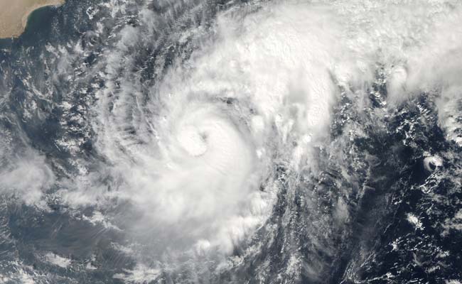
In Gujarat today, thousands of people were moved out of the way of Cyclone Nilofar, which is scheduled to hit the state on Saturday before noon. Here are the 10 latest developments in this story:
Here are the latest updates
Nilofar -- listed as a "very severe cyclonic storm" by Indian weather officials -- is barreling across the Arabian Sea packing winds of up to 220 kilometres (132 miles) an hour.
The cyclone will weaken substantially as it reaches the coast of Gujarat, according to the Indian Meteorological Department forecast.
Nilofar will "cross the coast as a marginal cyclonic storm with a wind speed of 60-70 kilometers per hour, gusting to 80 kilometers per hour," the department said on its website.
But officials in Gujarat say they are taking no chances with the storm, which is expected to make landfall in the Kutch district.
Nearly 30,000 people will be shifted from coastal areas to safer places by this evening, officials said.
On Friday, the coastal areas of Saurashtra and Kutch will see heavy rains and gales and the sea will turn extremely rough, warned the Meteorological Department
The National Disaster Response Force has been put on alert in Gujarat.
"We are preparing for the worst to happen, let us also pray that cyclone Nilofar gets subdued and doesn't bring serious damage," said Gujarat Chief Minister Anandiben who has been reviewing preparations.
Nilofar is the second cyclone to hit India this month; Hudhud slammed into the Andhra Pradesh coast on October 12 and killed nearly 20 people in the state.
India, particularly its east coast, and neighbouring Bangladesh are routinely hit by bad storms between April and November that cause deaths and widespread damage to property


