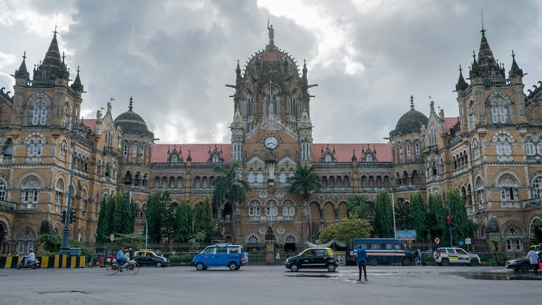
The Mumbai we know today, from Colaba to Worli, was not always one continuous stretch of land. Before there were packed roads, local trains and towering skyscrapers, this part of the Arabian Sea was made up of seven separate islands. They were divided by creeks, marshes and tidal waters, and life here revolved closely around the sea. Over the next few centuries, land reclamation, causeways and ambitious engineering projects slowly brought these islands together, creating the city we know today.
Also Read: This Indian Beach Lets You Drive A Car Right Along The Shore
These Were Mumbai's Seven Original Islands
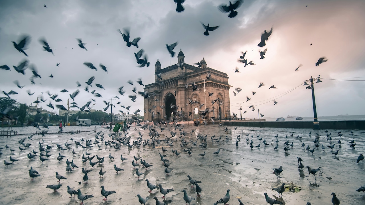
Photo: Unsplash
The seven islands that eventually formed the core of present-day Mumbai were:
- Bombay Island: The main island, stretching roughly from Dongri to Malabar Hill, and the centre from which the colonial city developed.
- Colaba: The southernmost island, now one of Mumbai's best-known areas for heritage buildings, markets and the waterfront.
- Old Woman's Island: Also called Little Colaba, it lay between Colaba and Bombay Island.
- Mazagaon: An eastern island with deep roots in Mumbai's Koli fishing community.
- Parel: Located north of Bombay Island, Parel was home to early settlements long before Mumbai emerged as a major colonial port.
- Worli: The island that once stood across the Great Breach from Bombay Island.
- Mahim: The northernmost of the seven, separated from the others by tidal waterways.
These islands were home to Koli fishing communities long before the colonial period. Their settlements remain part of Mumbai's landscape even today.
-

-
 Is AI Bubble Waiting To Burst? Nikhil Kamath Warns Of Tougher Months Ahead
 -
 "We Don't Have 5 Years": Celebrated American General Sounds Alarm On War
 -
 "There Will Be Issues Between Big Countries": S Jaishankar On India-China
 -
 Neha Goyal Makes Stunning Asian Games Gold Revelation At NDTV World Summit 2026
 -
 Big NDTV Summit Impact: RBI Governor's Tata Sons Listing Remark Makes Top Newspaper Headlines
 -
 "Certainty Is A Problem": Nikhil Kamath On Marriage, Children And Future
 -
 "High Inflation Is Like Tax On Everyone": RBI Governor At NDTV World Summit
 -
 RBI Governor Sanjay Malhotra's Big Hint On Tata Sons Listing Row At NDTV World Summit
 -
 The Mystery Of A Bare Nail In Ashwini Vaishnaw's Office
 -
 To PM Modi's "Failed Product" Jab At Rahul Gandhi, A Shashi Tharoor Counter
How Did Seven Islands Become One City?
The transformation began in the colonial period. In 1661, the seven islands were transferred to the English Crown as part of the dowry associated with the marriage of Charles II and Catherine of Braganza. In 1668, the Crown leased Bombay to the East India Company, which began developing the islands as an important trading and administrative centre.
As the settlement expanded, the marshy areas and tidal creeks became a major obstacle. Reclamation projects gradually filled these gaps. One of the most important was the Hornby Vellard, started in 1782 under Governor William Hornby and completed in 1784. It blocked the Worli Creek and helped reclaim the low-lying flats that were regularly flooded by the tide.
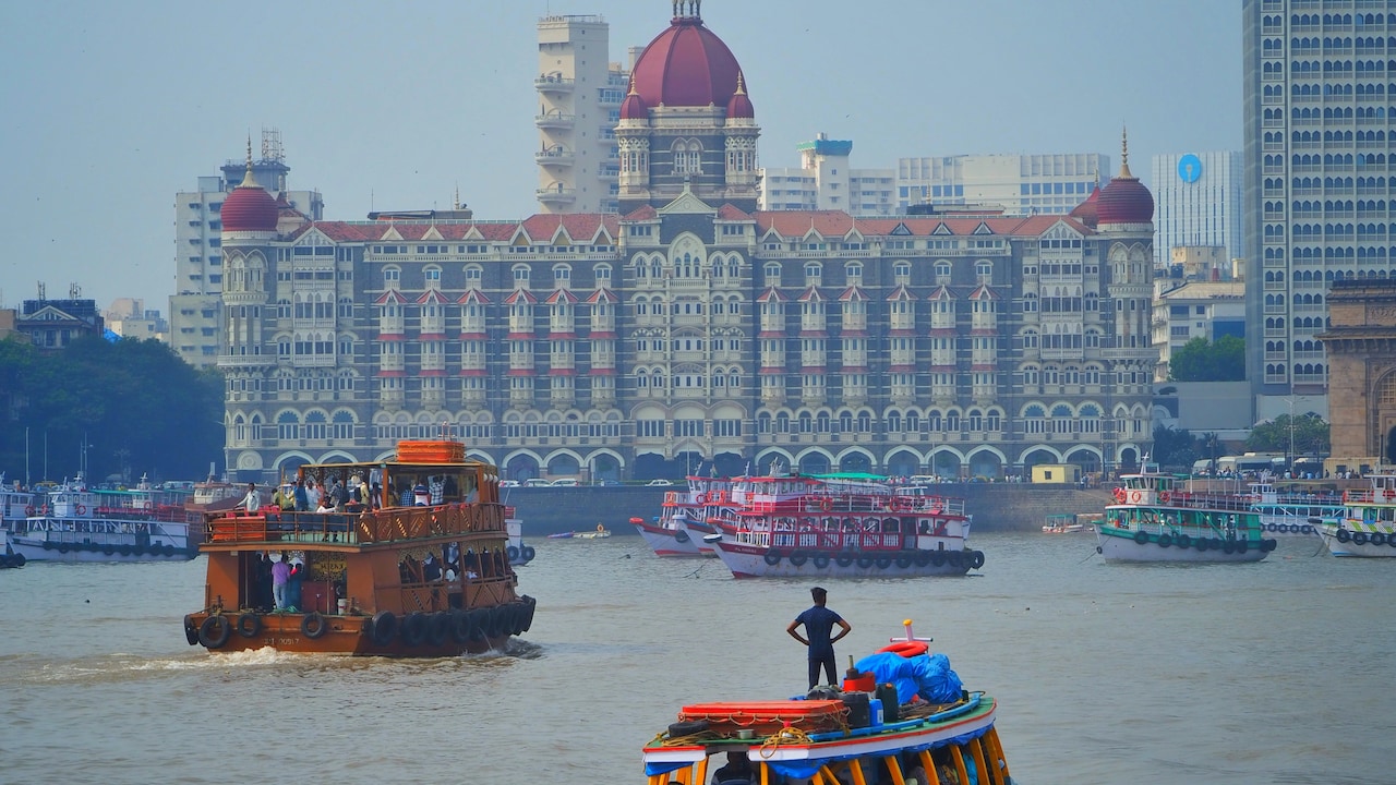
Photo: Unsplash
Also Read: You Can Walk Through A Cave In Africa Where An Entire River Disappears Underground
But the Hornby Vellard did not, by itself, join all seven islands. Several later projects and causeways were needed. The Colaba Causeway was completed in 1838, while the Mahim-Bandra causeway was completed in 1845. By then, the islands had effectively been brought together into one landmass.
You Can Still Spot The Old Mumbai
The history of the seven islands isn't confined to old maps. You can still find traces of it while exploring the city. Worli Fort offers views towards the sea and the modern Bandra-Worli Sea Link, while nearby Worli Koliwada remains a living fishing settlement with narrow lanes and a strong connection to the coast.
In Colaba, the Causeway itself is a reminder of how the former islands were connected. The neighbourhood also offers some of Mumbai's best-known colonial-era architecture and waterfront sights.
The next time you travel from Colaba to Worli without giving the geography a second thought, remember that this entire stretch you are covering once involved crossing from one island to another. Modern Mumbai simply turned those crossings into roads, neighbourhoods and one very busy city.
Track Latest News Live on NDTV.com and get news updates from India and around the world


