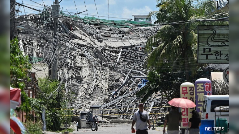
A magnitude 6.3 earthquake struck off the southern Philippines on Wednesday, the United States Geological Survey said.
The quake, which hit 32 kilometres (about 20 miles) southwest of the small island of Sarangani at 12:14 pm (0414 GMT), according to the USGS, did not trigger a tsunami warning. There were no immediate reports of casualties or damage.
Sarangani Island rescuer Harly Sauro told AFP the quake had struck while a large number of people had gathered to receive a government subsidy.
"The shaking was quite strong. I saw people in panic. They were running and shouting," he said.
"The earthquake came while the local government was giving a financial subsidy, so there were many people at the court, but everyone's safe," he added.
"Based on our assessment and experience, we don't think there will be casualties or damage."
The Pacific Tsunami Warning Center placed Wednesday's quake at a depth of 62 kilometres.
The quake follows a powerful June 8 tremor that toppled buildings, triggered landslides and killed at least 76 people on the nearby island of Mindanao.
That earthquake, driven by a shifting of the Cotabato trench, raised the seabed by as much as two metres (6.6 feet), exposing coral and harming marine life.
Earthquakes are a near-daily occurrence in the Philippines, which is situated on the Pacific "Ring of Fire," an arc of intense seismic activity stretching from Japan through Southeast Asia and across the Pacific basin.
(Except for the headline, this story has not been edited by NDTV staff and is published from a syndicated feed.)
Track Latest News Live on NDTV.com and get news updates from India and around the world


