10 Stunning Photos Of Earth From 65 Miles To 100 Million Miles
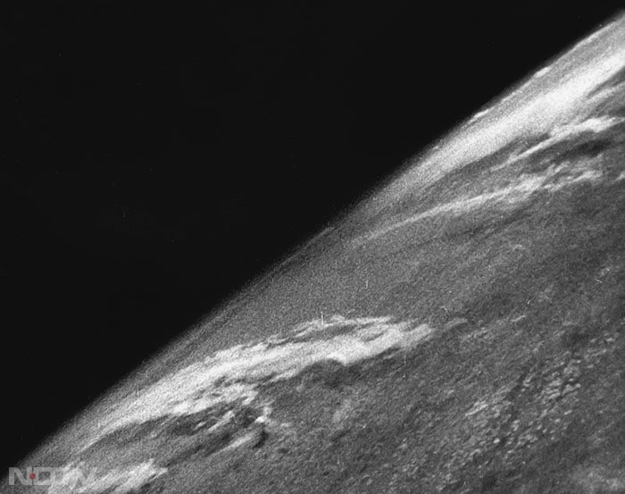
The study of Earth's atmosphere from higher altitude began in 1946. This is a photo captured on October 24, 1946, from a German V-2 rocket from an altitude of 65 miles. (NASA)
10 Stunning Photos Of Earth From 65 Miles To 100 Million Miles
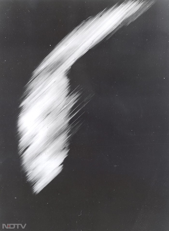
The first satellite photo of Earth was obtained by the Explorer VI in 1959 at an altitude of 17,000 miles. It shows a sun-lit area of the Central Pacific ocean and its cloud cover. (NASA)
10 Stunning Photos Of Earth From 65 Miles To 100 Million Miles
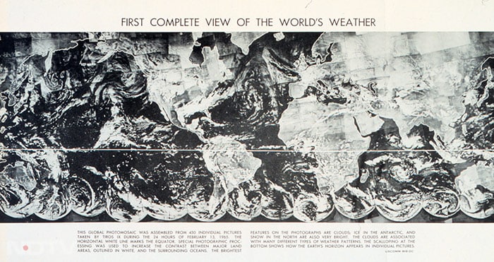
This is the first photo of weather systems over the entire Earth. It was created by merging 450 pictures taken by TIROS-9 meteorological satellite on February 13, 1965. (NASA)
10 Stunning Photos Of Earth From 65 Miles To 100 Million Miles
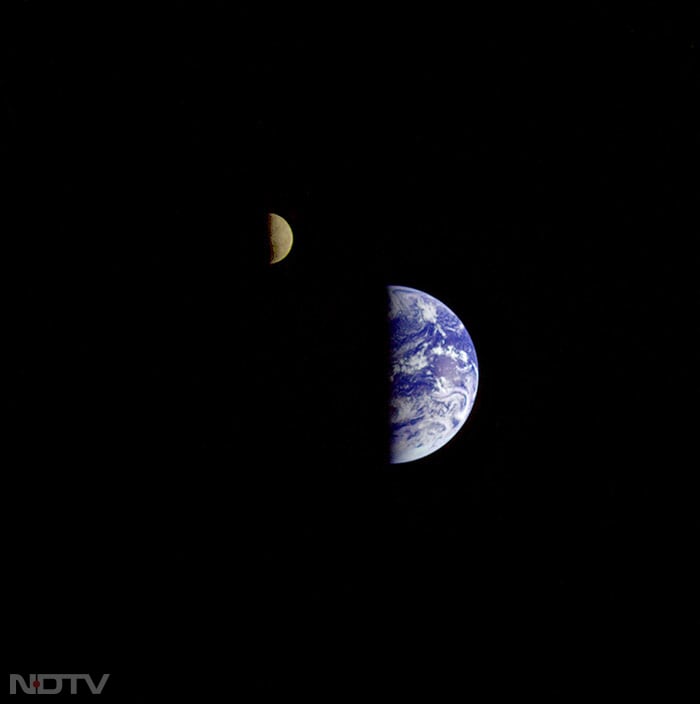
In 1992, a "family portrait" of Earth and the Moon captured by Galileo spacecraft from a vantage point about 3.9 million miles away had awed space enthusiasts. (NASA)
10 Stunning Photos Of Earth From 65 Miles To 100 Million Miles
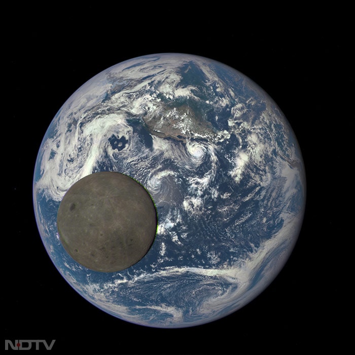
In the same year, the rarely seen "dark side" of the Moon became visible in the photo clicked by NASA's Earth Polychromatic Imaging Camera (EPIC) from 1 million miles away. (NASA)