- The NASA-ISRO Synthetic Aperture Radar satellite NISAR will launch on July 30 from Sriharikota, Andhra Pradesh
- NISAR weighs 2,392 kg and scans Earth every 12 days, providing all-weather, day-night data
- The $1.3 billion mission is a 50-50 NASA-ISRO partnership, showcasing major US-India space collaboration
In a historic collaboration between the United States and India, the NASA-ISRO Synthetic Aperture Radar satellite, also known as NISAR, is poised to revolutionise how we observe and understand our planet.
Scheduled for launch on the evening of July 30 from the Satish Dhawan Space Centre in Andhra Pradesh's Sriharikota, NISAR represents the largest joint Earth science mission ever undertaken by NASA and the Indian Space Research Organisation (ISRO). The latest NASA-ISRO collaboration follows the successful mission to the International Space Station by Astronaut Group Captain Shubhanshu Shukla.
At its core, NISAR is designed to monitor changes in Earth's surface with unprecedented precision, capturing movements as small as a centimetre. This capability is vital for tracking natural hazards such as earthquakes, landslides, volcanic activity, and glacial shifts, as well as human-induced changes like urban expansion, agricultural development, and infrastructure stress.

NISAR can detect changes in the Earth's surface, such as ground deformation, ice sheet movement
ISRO says the NISAR satellite weighs 2,392 kg, and it will scan the entire globe and provide all-weather, day-and-night data at a 12-day interval and enable a wide range of applications. NISAR can detect changes in the Earth's surface, such as ground deformation, ice sheet movement and vegetation dynamics.
Further applications include sea and ice classification, ship detection, shoreline monitoring, storm characterisation, changes in soil moisture, mapping and monitoring of surface water resources and disaster response.
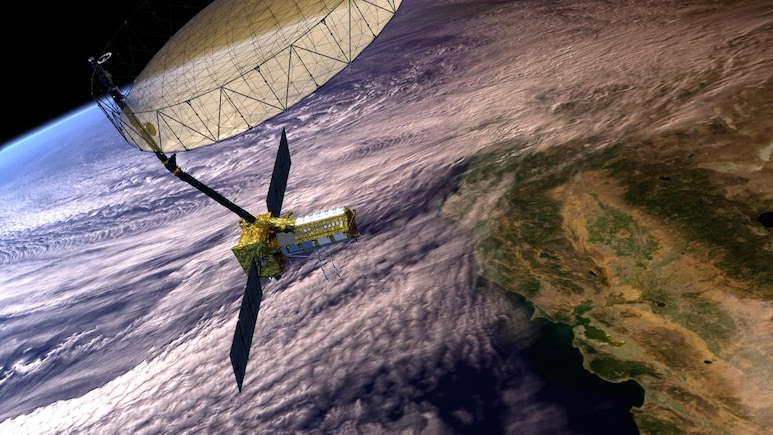
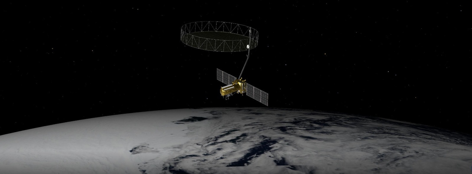
What sets NISAR apart is its dual-frequency radar system, a first-of-its-kind configuration in space. NASA has contributed the L-band radar, which penetrates vegetation and soil to reveal subsurface changes, while ISRO has provided the S-band radar, optimised for detecting surface-level features like foliage and terrain. These radars are mounted on a 12-meter mesh reflector antenna, roughly the size of a school bus, allowing the satellite to scan nearly all of Earth's land and ice surfaces twice every 12 days.

NISAR will play a pivotal role in climate science, ecosystem monitoring, and resource management.
The satellite's ability to operate day and night, in all weather conditions, ensures a continuous and reliable stream of data. This is especially critical for regions prone to disasters, where timely information can mean the difference between life and death. As Nikki Fox, Associate Administrator for NASA's Science Mission Directorate, emphasises, "NISAR's data will help ensure the health and safety of those impacted on Earth, as well as the infrastructure that supports them."
Beyond disaster response, NISAR will play a pivotal role in climate science, ecosystem monitoring, and resource management. It will help track groundwater depletion, forest density, wetland flooding, and coastal vegetation, offering insights that are essential for food and water security. More than 180 organisations from local governments to private companies are already preparing to use NISAR's data to inform decisions and policies.
The mission also showcases the power of international cooperation. As Wendy Edelstein, NISAR's Deputy Project Manager at NASA's Jet Propulsion Laboratory (JPL), noted, "NISAR is a 50-50 partnership between NASA and ISRO. It represents the largest collaboration in space between the United States and India." It has cost upwards of $1.3 billion.
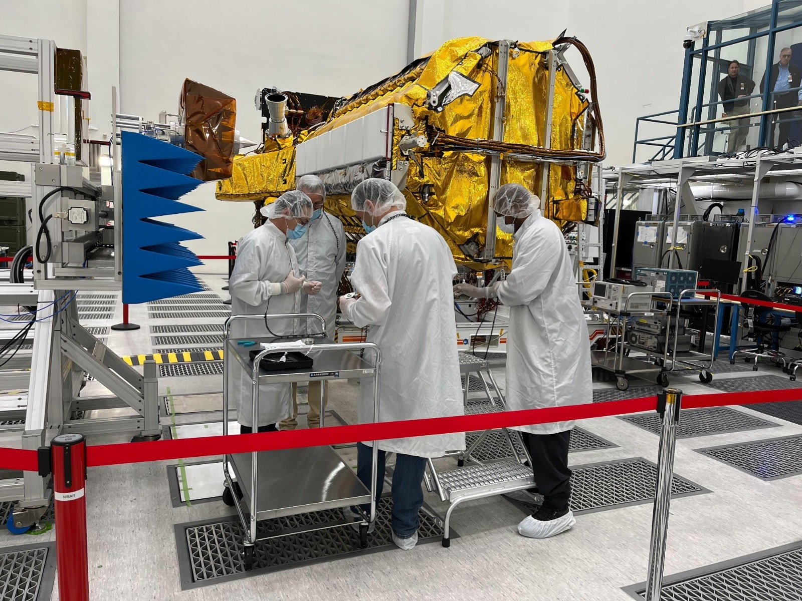
The satellite was built and tested over five years, with extensive integration work carried out in both countries. Ms Edelstein herself spent over 150 days in India working alongside ISRO engineers, highlighting the deep commitment and mutual respect between the two space agencies.
Technologically, NISAR employs synthetic aperture radar (SAR) and interferometry to create high-resolution images and detect surface motion. SAR allows the satellite to simulate a much larger antenna by combining thousands of radar pulses, resulting in detailed imagery. Interferometry, on the other hand, enables the measurement of ground displacement over time by comparing radar signals from different passes. These techniques provide a 3D view of Earth's surface dynamics, crucial for understanding tectonic shifts, glacier movements, and land subsidence.
The satellite's data will be open and accessible, aligning with NASA's commitment to open science. This ensures that researchers, policymakers, and emergency responders worldwide can benefit from NISAR's insights. As Karen St. Germain, Director of NASA's Earth Science Division, puts it, "NISAR is a model for the next generation of Earth observation capabilities."
For India, NISAR is a strategic milestone in its growing space ambitions. It complements the country's Gaganyaan human spaceflight program, recent lunar and solar missions, and its expanding role in global space diplomacy. The launch also underscores India's technical prowess, with ISRO providing the Geosynchronous Satellite Launch Vehicle (GSLV-F16) launch vehicle, spacecraft bus, solar arrays, and ground support.
The excitement surrounding NISAR is palpable. Paul Rosen, NISAR's Project Scientist at JPL, described the mission as the culmination of decades of work, calling it a "high-definition movie of the Earth." He highlighted how NISAR's radar can "see through foliage, study building footprints, measure flood depth," and even detect subtle shifts in tectonic plates.
As the countdown to launch begins, NISAR stands as a beacon of scientific innovation and international unity. It promises to deepen our understanding of Earth's complex systems, enhance our ability to respond to environmental challenges, and inspire future collaborations in space exploration.
Track Latest News Live on NDTV.com and get news updates from India and around the world

