
What Happened In The Mountains That Caused Such Devastation In Nepal?
A massive chunk of a glacier broke off from an altitude of approximately 5,200 metres and plunged 1,200 metres down. Subsequently, a rapidly advancing mass of debris surged down through the Himalayan valleys. In the wake of the disaster, people began frantically searching for their loved ones. There are many families where not a single meal has been cooked since the tragedy struck.
By Mohd Sakib Mazeed | Sunday, 30 August
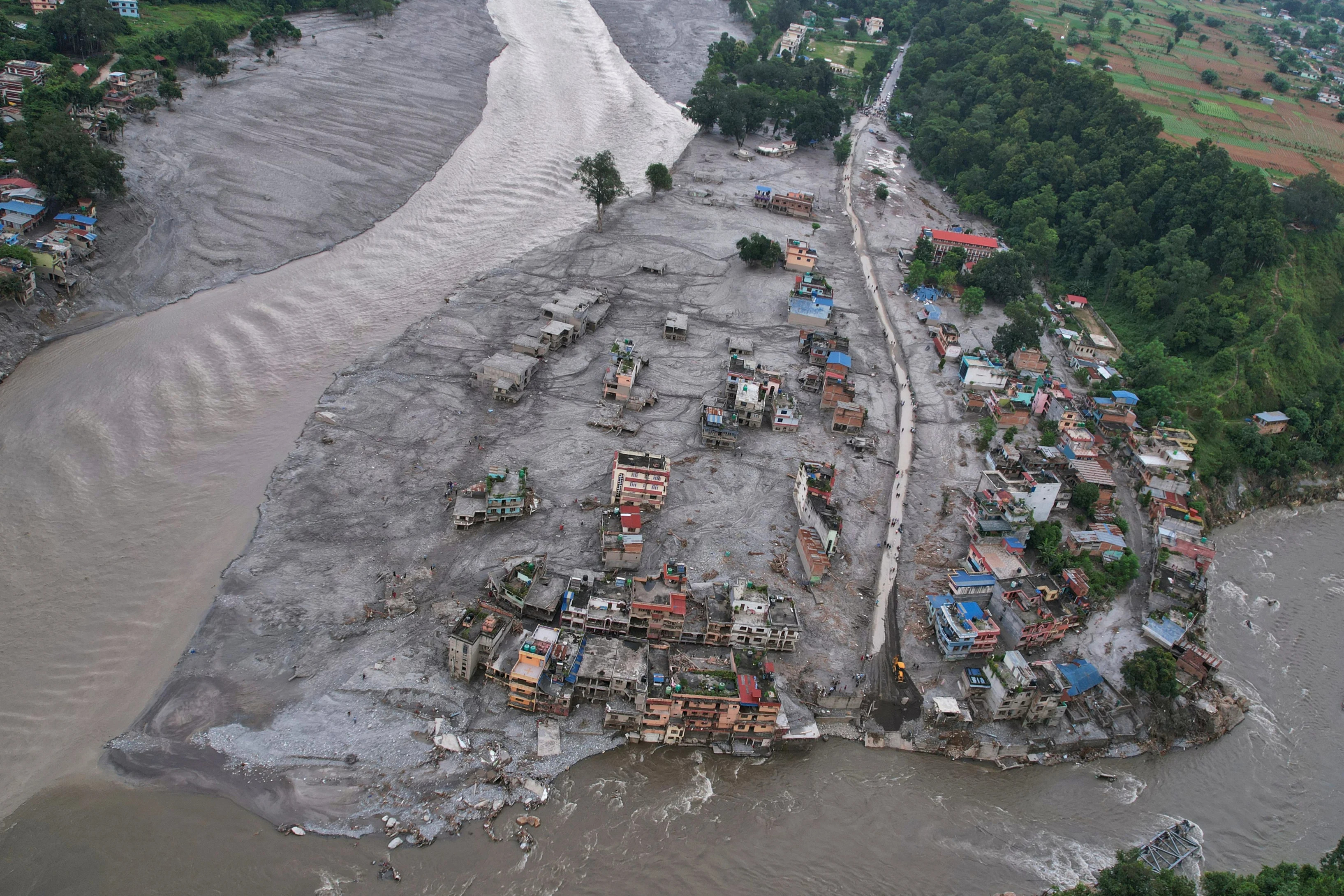

On the morning of Wednesday, August 26, devastating flash floods and landslides tore through the Nepal-Tibet border region. The disaster originated in the high peaks of the Himalayas, where a destructive torrent of ice, rock, mud and water surged down to strike villages and a border trading post. Around 800 people have lost their lives in this horrific tragedy in Nepal so far. Over 2,500 people remain missing, including hundreds of tourists and pilgrims from around the world. In Rasuwa’s Trishuli Bazaar and surrounding areas, the river water surged to heights of 60 to 70 feet. This ferocious surge of water instantly swallowed entire riverside markets, schools, colleges and residential settlements. Buildings that withstood the deluge stand in a dilapidated state, while those that could not survive are just heaps of rubble. Silt has piled up to the level of the upper floors of two-storey houses.
Entire villages were devastated in the blink of an eye after being struck by flash floods. A torrent of water, ice, mud and rocks surged through the Himalayan valleys, completely destroying roads, bridges and power stations along the way.
The devastation leveled buildings. The fast-flowing debris destroyed almost everything in its path. Buses, cars and all manner of vehicles were swept away. Videos circulating on social media captured the moment the flooded area transformed in a matter of seconds.
Surveillance cameras at Gyirong Port captured the moment of disaster, showing a massive torrent of brown mud flowing down the valley from Nepal's side of the border, directly hitting the Gyirong Port building and people trying to escape.
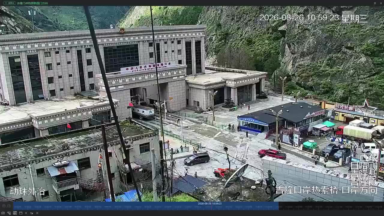
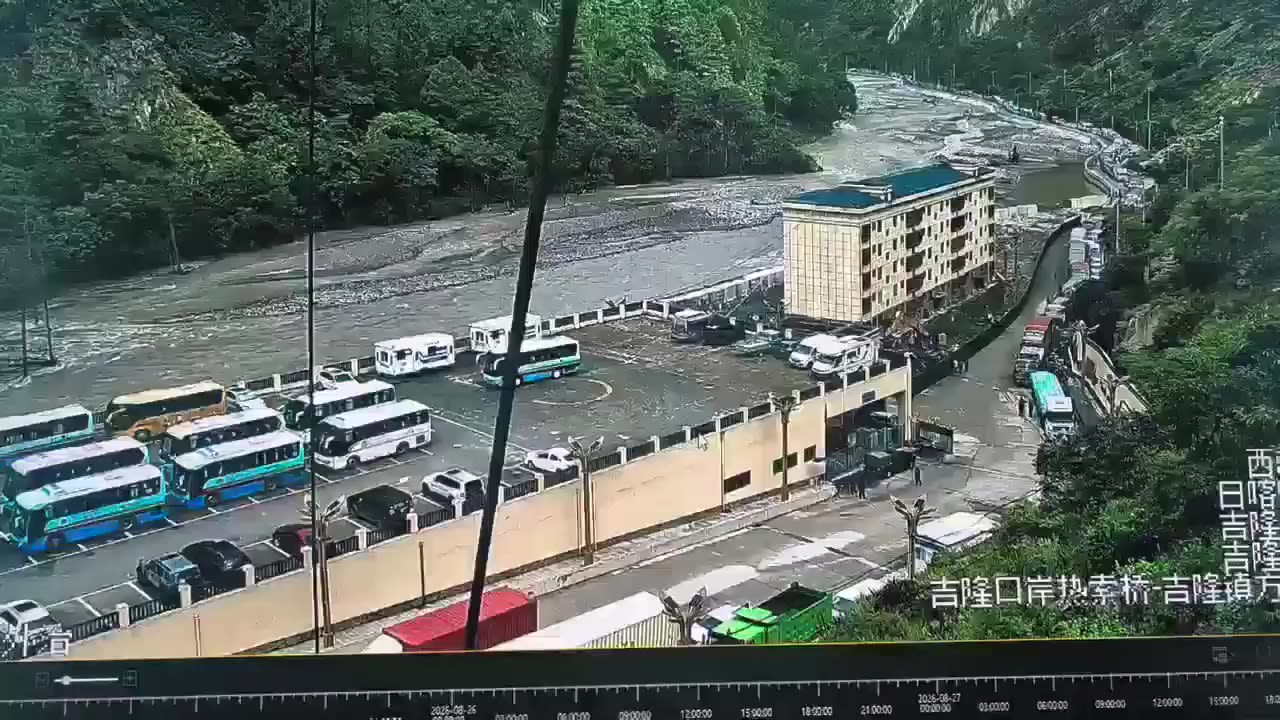
CCTV Footage From Gyirong Port Shows The Devastation
Disaster, Stampede And Lives Lost...
Satellite images of the area also show that the river's width had increased significantly due to the floods.
The Scene Before The Disaster
The Scene After The Flood
What Caused This Devastation?
According to information available so far, the disaster began at a high altitude in the northern part of Langtang Lirung, a mountain located near the Tibetan border in Nepal.
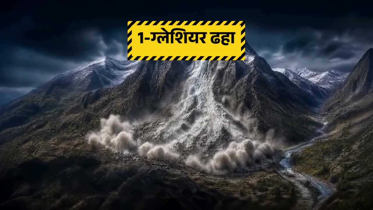
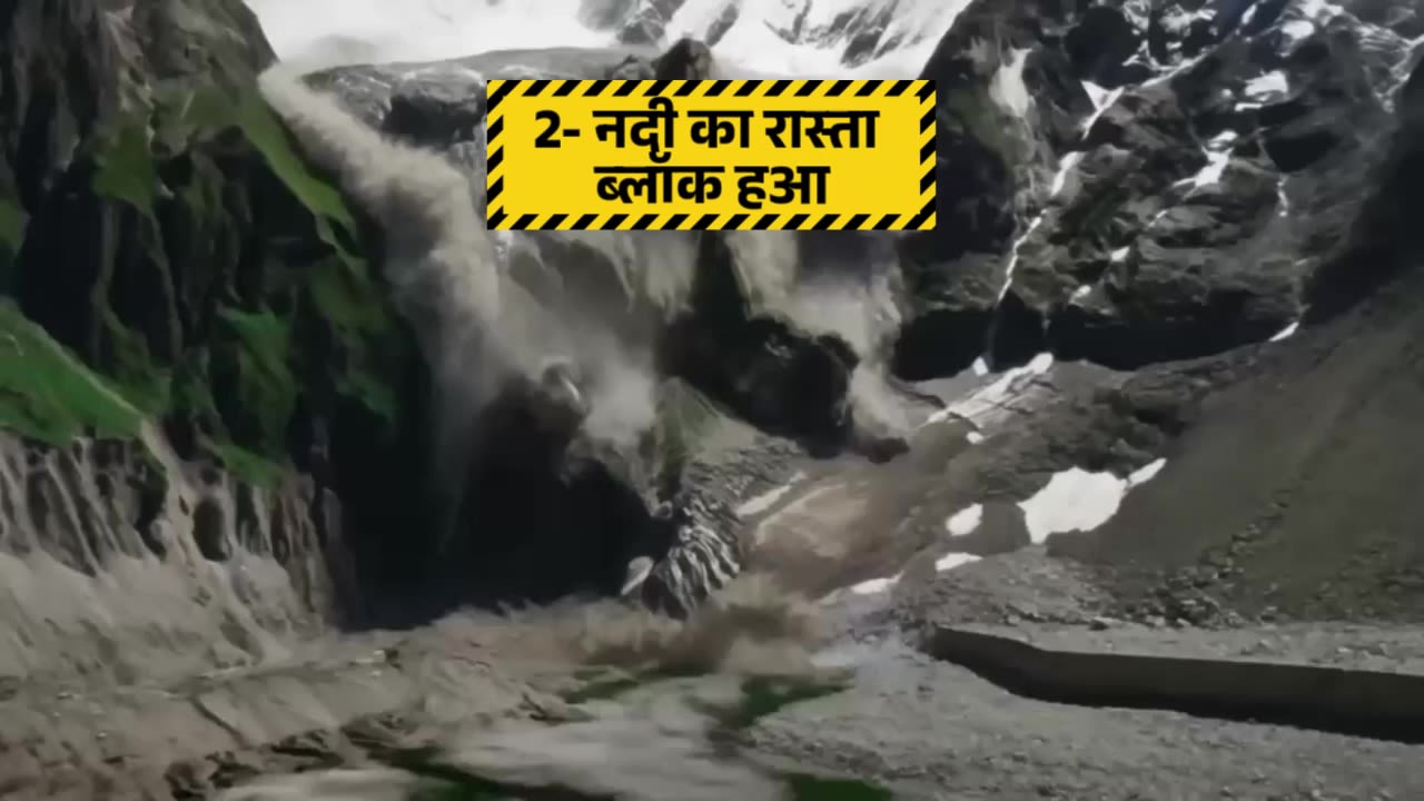
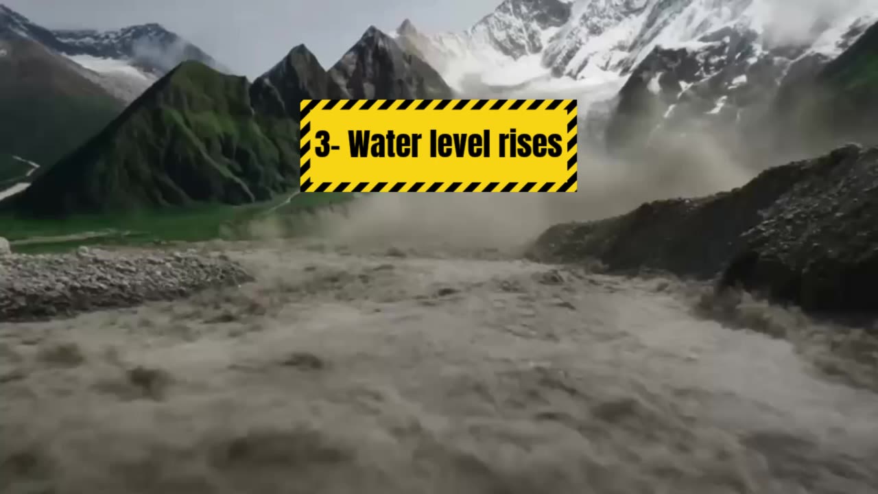
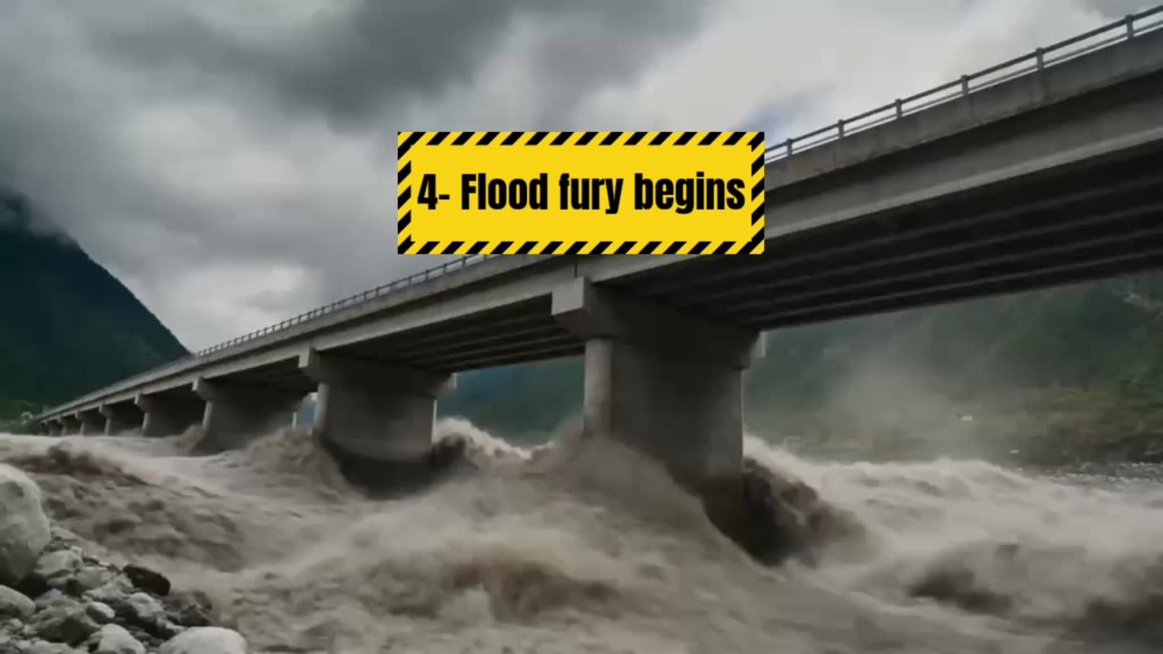
Satellite data shows that the rock beneath the glacier collapsed, sending large chunks of ice and rock falling into the valley below. This avalanche of rocks and ice blocked the path of the Lhende Khola River, creating a natural dam.
Water began to accumulate, putting increasing pressure on the unstable dam. Eventually, it broke.
It destroyed roads and bridges, devastated settlements and swept away everything in the river's path.
A powerful torrent of water, mud and stones rushed downstream and the devastation began.
Although the disaster was initially believed to have been caused by a 4.4 magnitude earthquake, analysis by the United States Geological Survey later revealed that the seismic energy was actually generated by the collapse of debris and subsequent debris flow.
The rugged nature of the Himalayas exacerbated the situation. Steep slopes accelerated the downward movement of debris, while narrow valleys diverted its flow towards settlements below.
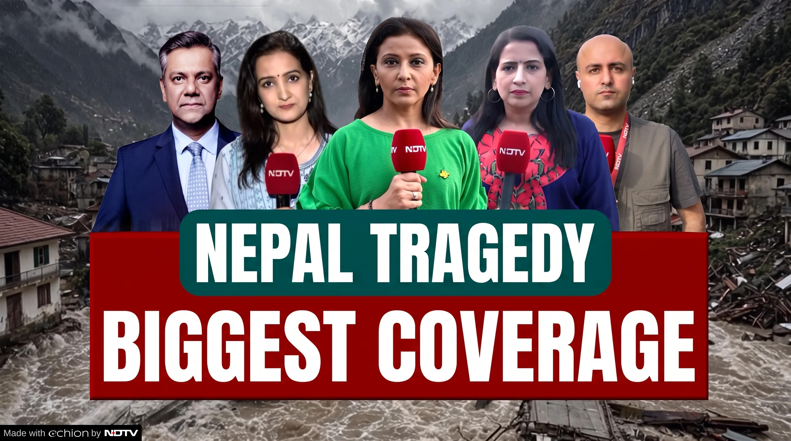
NDTV was the first to reach the epicentre of the tragedy
NDTV was the first to reach the epicentre of the tragedy
Following the devastating floods in Nepal, Rasuwa district was one of the hardest-hit areas, serving as the epicentre of the tragedy. Once a beautiful tourist destination, this region now bears the deep scars of devastation. All around, there are only heaps of rubble, destroyed houses, washed-out roads and broken bridges.
To bring this scene of devastation and the ground reality to the world, an NDTV team traveled from Kathmandu through a dangerous eight-hour journey to Rasuwa. NDTV was the first TV network to reach. The road connecting Kathmandu to Rasuwa was washed away. Consequently, relief teams and our team had to navigate extremely difficult, narrow, and unpaved roads.
Credits
Developed By: Mohd Sakib Mazeed
English Translation: Debanish Achom
Photos: PTI
Illustrations: NDTV Graphics Team
Data: NDTV Datafy
Satellite Imagery: Vantor